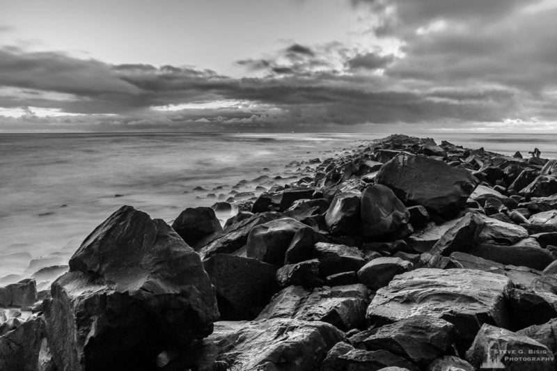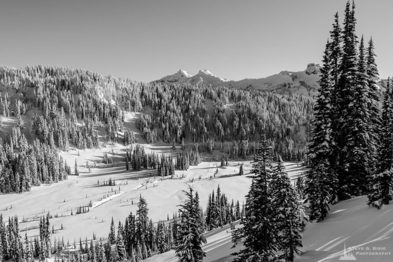
During late spring (mid-June), the snowpack at the higher elevations in the Mount Rainier National Park is substantial, often not melting off until late July. Typically, the roads are cleared of snow, repaired from winter damage, and open to the public only after the Memorial Day holiday.
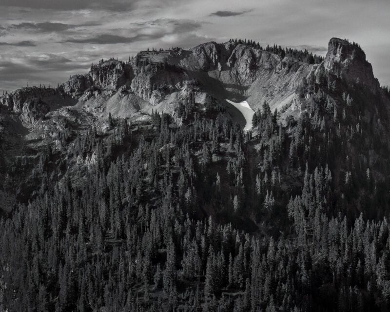
Once the Stevens Canyon Rd. at Mount Rainier National Park opened up for the spring, I made my first road trip looping around the mountain. After a day of photographing various scenes, I arrived in the Paradise area just before the last light. The setting sun was highlighting the tips of the surrounding peaks.
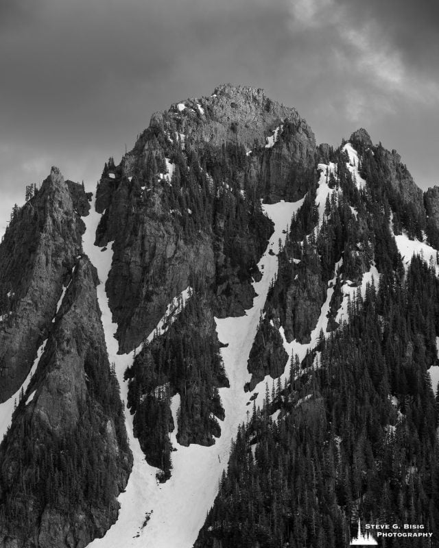
The light falling on Lane Peak, contrasting against the dark cloudy sky, made it stand out from the other peaks along the Tatoosh Range, allowing for the making of this photograph.
About Lane Peak.
At 6,012 ft in elevation, Lane Peak is a mountain summit along the crest of the Tatoosh Range, a sub-range of the Cascade Range in Washington state. It is located south of Mount Rainier, in Mount Rainier National Park.
Lane Peak was named in honor of United States Secretary of the Interior Franklin Knight Lane. The latter presided over the establishment of the National Park Service in 1917.